Search Results

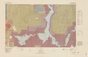
Map of Las Vegas, Nevada, annotated to show different soil types, September 2, 1948
Image
Map showing water pipelines, Las Vegas, Nevada, January 15, 1914
Image

Map of Las Vegas showing areas owned by the Union Pacific Railroad Company, water pipes and other water utilities, circa 1942
Map showing downtown Las Vegas and tracts to the west showing water supply lines, wells, springs, and settling basins. Various areas outlined in red and yellow. Scale [ca. 1:7,200] 1 in.=600 feet. Cadastral map. Blueline print. Areas owned by railroad outlined by hand in different colored markers. Library's copy includes hand-written calculations.
Image
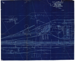
Blueprint map showing proposed water pipeline from Big Spring to Las Vegas, Nevada, January 24, 1911
Image

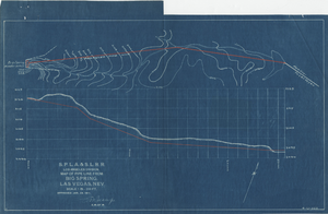
Map showing location of proposed well at Las Vegas, Nevada, August 24, 1948
'Office of Vice President, Los Angeles, California.' 'Dwg. F-225.' Relief shown by contours. Hand-drawn red line marks portion of ranch property owned by Land Company. Scale [ca. 1:7,200]. 1 in.=600 feet. Blueline.
Image
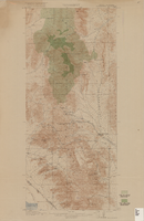
Topographic map of Lake Mead quadrangle, Nevada and Arizona, 1979
universal transverse Mercator proj. (W 115°00'--W 114°00'/N 36°30'--N 36°00'). Series: Surface-minerals management status. United States. Bureau of Land Management. Surface-minerals management status. Filing title: Lake Mead, Nev.--Ariz., 1979. Shows township and range lines. Published by United States, Dept. of the Interior, Bureau of Land Management
Denver, Colo. : For sale by U.S. Geological Survey,
Image

Map of explorations and surveys south of the Central Pacific Railroad made by the U.S. Army Corps of Topographical Engineers, 1871
Image

Map showing detailed topography of the country traversed by the reconnaissance expedition through southern & southeastern Nevada, 1869
no. 1.miles. Library's copy has counties hand-outlined in colored markers.
Image

Topographic map of Goodsprings quadrangle, Nevada and California, 1919
Text